News


Ivano-Frankivsk. Source: wikipedia.org


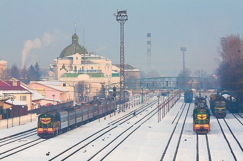
Ivano-Frankivsk is the economic and cultural center of Prykarpattia and one of the three main cities of the historical and geographical region of Galicia. The city is located on the Pokutska plain of southwestern Ukraine in the interfluve of the Bystrytsia Nadvirna and Bystrytsia Solotvynska rivers. Founded in 1662 as the fortress of Stanislaviv, the city played an important role in the history of the region.
Interesting historical photos of Ivano-Frankivsk in the 1960s were posted online. In particular, the panoramic photo shows the main buildings of the city center.
The city was founded by Andrzej Potocki, a representative of an influential Polish noble family, on the site of the ancient Ukrainian village of Zabolottia. The first mention of the city dates back to 1662 when it was granted Magdeburg rights.
As a result of the first partition of Poland in 1772, Stanislaviv came under the rule of the Austrian Empire. This period was characterized by the development of industry, the construction of a railroad, and population growth. Cultural and educational institutions, including a university, appeared in the city. At the same time, the national movement of Ukrainians who fought for their rights intensified.
After the collapse of Austria-Hungary in 1918, Stanislaviv became part of the Western Ukrainian People's Republic (ZUNR).
In 1919-1939 the city was under Polish rule. In 1939, after Western Ukraine joined the USSR, Stanislaviv became part of the Ukrainian SSR.
In 1962, the city was renamed Ivano-Frankivsk in honor of the prominent Ukrainian writer Ivan Franko.
This historic photograph shows a panoramic view of the city center in 1960.
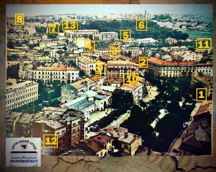
The published archival photo shows the following features of the city's development at that time:
- The Post Office building had not yet been expanded, and in its place was a square facing the then Chapaeva Street (now Sichovykh Striltsiv Street).
- The current building of the Ukrposhta is missing, where the "Philately" shop used to be on the ground floor.
- The Kaminsky Hotel is clearly visible, which in the Soviet era served as a puppet theater.
- The tax building did not exist yet.
- The modern Melnyk Street had not yet been laid out, and there was another building in its place.
- The old city cemetery still existed, although it was finally liquidated in 1980.
- The German church, which was closed after the arrival of Soviet rule and later adapted into a sports school (including boxing and wrestling sections). In 1971, this historic building was blown up.
- Old buildings still stood on the site of the modern "Prykarpattransgaz."
- There was no dental building of the Medical University.
- There is also no "negotiation point" where the Administrative Services Center is now located.
- The initial part of Dadugin Street (now Konovaltsia Street) was almost not built up, and old one-story houses later became shelters for the homeless.
- A dormitory at 2 Belvederska Street has not been built.
- There is no drama theater or hotel "Ukraina," but modernist "Khrushchevkas" have already been built nearby. The author of these small buildings was Wolf Adler, and one of the first such projects (142 apartments) was implemented at 36 Nezalezhnosti Street.
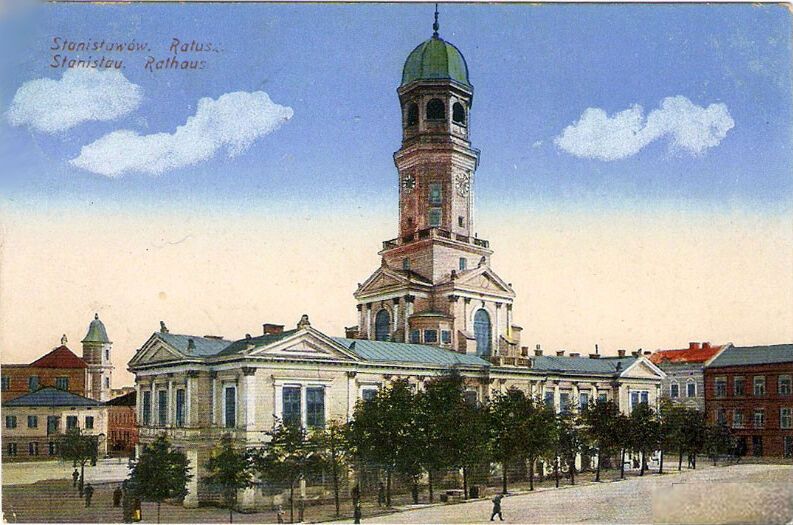
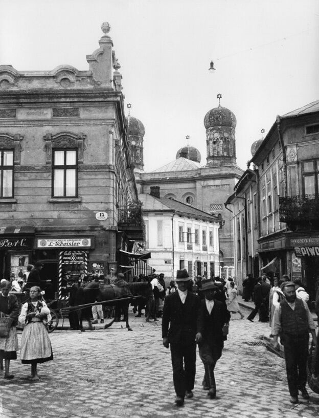
We publish other historical photos of Ivano-Frankivsk.

Subscribe to OBOZ.UA's Telegram and Viber channels to keep up with the latest events.
Other News


How to boil beets in 10 minutes: an elementary method that will suit everyone
You don't even have to turn on the stove

A new rival to Renault's inexpensive Tesla crossover was shown from the inside. Photo
Alpine A390 will be very powerful


The most fashionable manicure color for spring 2025: five periwinkle designs
Spring 2025 brings a new color favorite in the world of manicure

The most successful days of March for each zodiac sign: horoscope
On which days the stars will be most favorable in business