News
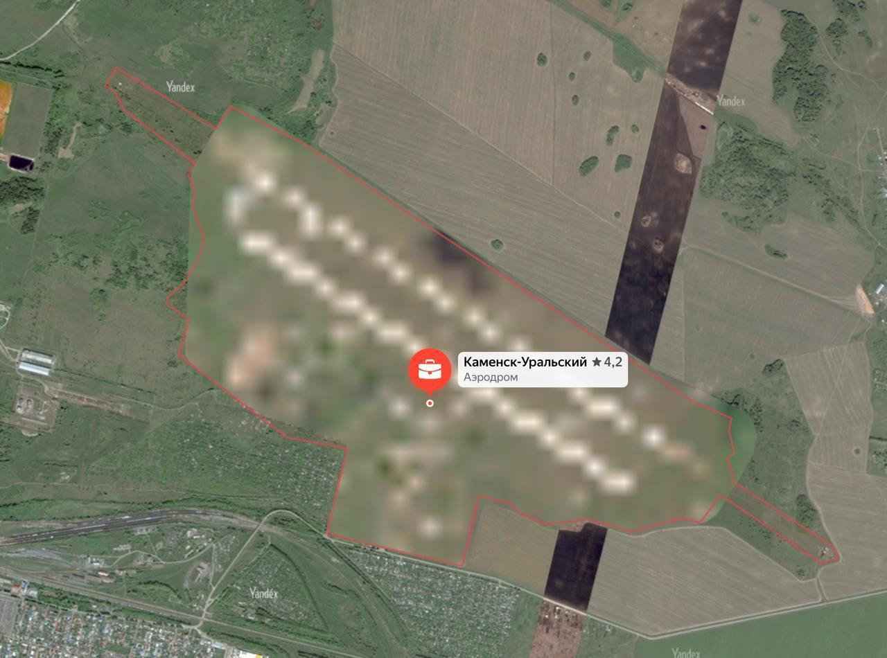
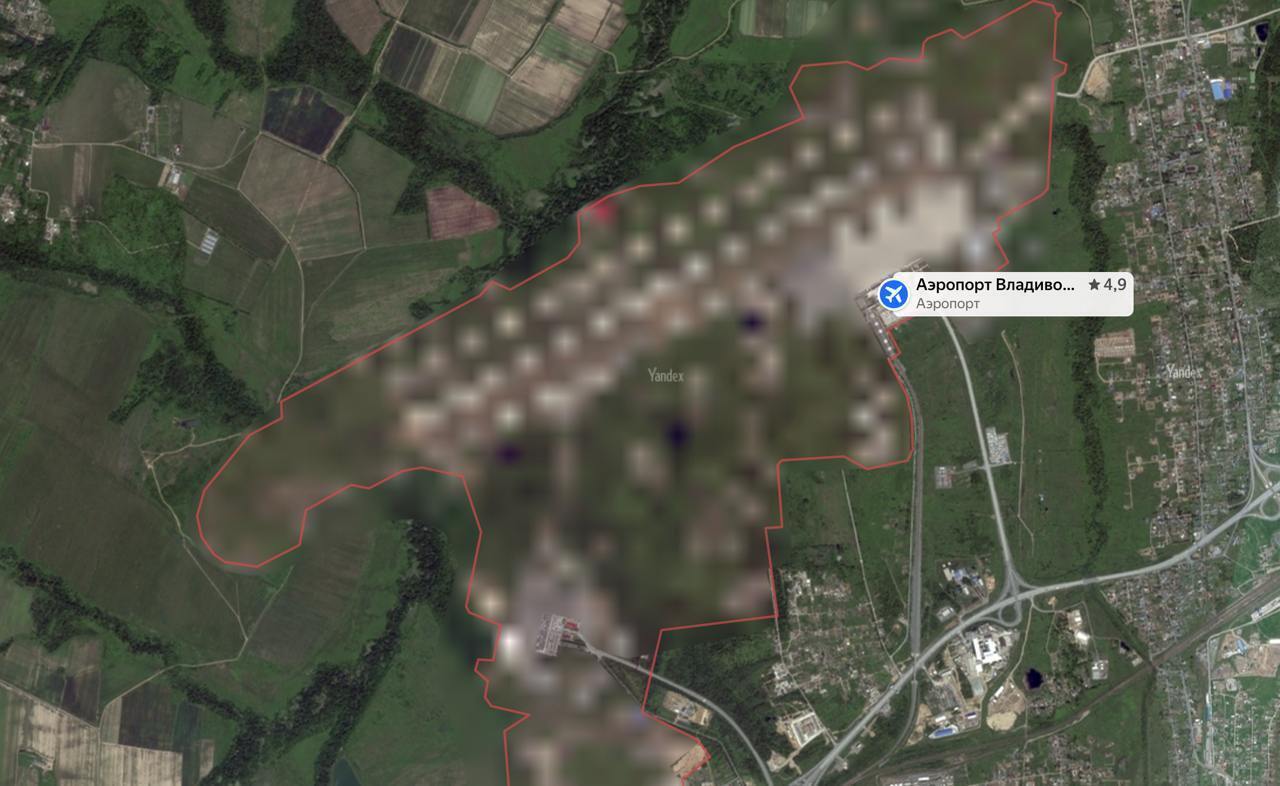
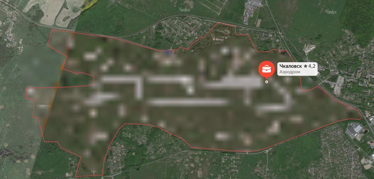
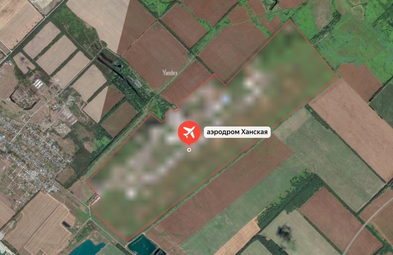
After the attacks by Ukrainian drones, "Yandex. Maps" began blurring satellite images of Russian military airfields. Photo
The Russian service "Yandex. Maps" has started blurring satellite images of military airfields in the Russian Federation. At the same time, civilian airfields look the same as before. These changes are likely to be related to recent attacks on Russian Air Force facilities.
Mediasona drew attention to this. Currently, "Yandex. Maps" shows at least 10 military facilities hidden. These include the Kamensk-Uralsky airport in the Sverdlovsk region, the "Rtishchevo" airfield in the Samara region, the "Engels" airfield in the Saratov region, the "Diagilevo" air base in Ryazan, and the "Borisoglebsk" airfield in the Voronezh region.
The "Khanskaya" airfield in the suburbs of Maikop has also been blurred. The last three facilities have been previously attacked by Ukrainian drones. In addition, objects in the Russian-occupied Crimea are currently hidden.
"Satellite images of some jointly operated airports, the infrastructure of which is used by both civil aviation and the Ministry of Defense, were blurred. Among them are the airports of Vladivostok and Petrozavodsk," the statement said.
Yandex commented on the situation, stating that "traditionally, satellite images have different levels of detail. This is typical for many geo-services with satellite imagery functionality. This may be due to regulatory requirements or the properties of the data from the suppliers."
When exactly the satellite images of military airfields begin to be blurred on "Yandex. Maps," the press service did not specify. However, a month ago, pro-war bloggers were outraged that Yandex. Maps did not hide images of Russian satellite military facilities, unlike foreign bases.
We would like to remind you of recent attacks on the airfields of the aggressor country, Russia.
On October 10, drones attacked a military airfield of the Russian Aerospace Forces in the Republic of Adygea, located near the village of Khanskaya. Local residents heard loud explosions, after which a fire broke out near the airbase.
The General Staff of the Armed Forces of Ukraine confirmed that the Defense Forces had struck the "Khanskaya" airfield in the Republic of Adygea. An ammunition depot at the military facility came under fire, and enemy air defense and fire were detected in the target area. It is known that Su-34 and Su-27 aircraft were based at the airfield. The operation was conducted by joint forces of the SSU, the Defence Intelligence of Ukraine, and the Special Operations Forces of the Armed Forces of Ukraine.
On the night of October 20, the Ukrainian Defense Forces struck an airfield in the Lipetsk region of the Russian Federation where Su-34, Su-35, and MiG-31 military aircraft were based. The defenders also attacked a military plant in the Nizhny Novgorod region that produces explosives for bombs and artillery ammunition.
Guided aircraft bombs were also stored there.
As reported by OBOZ.UA:
– The American public transnational corporation Google has made another update of Google Maps, including Ukrainian, which worked in favor of the aggressor country Russia. The images of the territory showed the location of Ukrainian military systems.
– The company said that satellite images of our country's defense infrastructure, which were put on the updated Google maps, were taken more than a year ago and come from publicly available sources. The corporation emphasized that it does not publish new images of combat zones.
Only verified information is available on our Telegram channel OBOZ.UA and Viber. Do not fall for fakes!


